Example survey
Sample Route Survey
Walk through how a MeasurePRO route survey works — from in-vehicle capture to a shareable report in RoadScope. No account required.
Illustrative example. The route, measurements, and screenshots below show how the MeasurePRO workflow operates. They are an anonymized demonstration scenario — not a real customer route or customer survey results.
The problem — a load that might not fit
In this example scenario, a carrier is planning an oversize move: a piece of processing equipment loaded to a travel height of 5.28 m (17'4") on a 68 km corridor between a fabrication yard and a project site. The desktop data is ambiguous — one bridge on the corridor is listed with a posted clearance close to the travel height, and two sets of overhead utility lines have no reliable published height at all. A wrong guess means a strike, a rejected permit, or an expensive last-minute reroute. The team runs a MeasurePRO route reconnaissance pass to replace the guesswork with measured fact.
Cargo
Processing module
Travel height
5.28 m (17’4″)
Corridor
68 km, yard → site
Unknowns
1 bridge · 2 wire crossings
Capture — drive the route
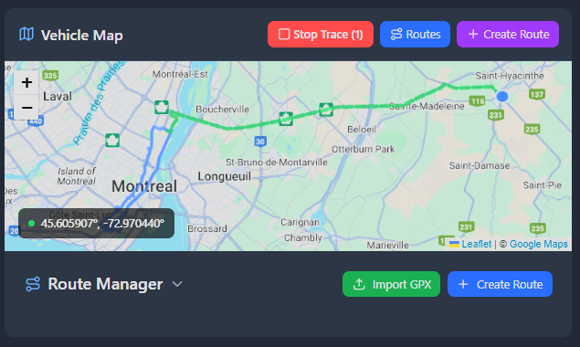
The surveyor drives the corridor with the vehicle-mounted SolTec LiDAR system. MeasurePRO continuously records overhead clearances — bridges, wires, signals, sign structures — along with GPS position, at normal traffic speed. Every measurement is paired with synchronized camera capture.

Verify — check evidence in the field
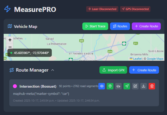
Before leaving the route, the surveyor reviews each logged obstruction: the measured clearance, its GPS location on the map, and the camera frame captured at the same moment. Questionable readings can be re-measured on the spot instead of requiring a second trip. In this scenario, the questionable bridge measures 5.41 m at its lowest beam — 13 cm above the travel height — while the first wire crossing comes back at 5.19 m: lower than the load. The surveyor logs the wire as a constraint POI with its exact GPS position and the synchronized camera frame, and records the field verdict on the spot: the bridge passes, the wire crossing needs the utility contacted or a local detour.
Every reading has proof
Measurements and camera evidence are synchronized, so each clearance value in the survey can be traced back to what the sensor actually saw — a defensible record rather than a bare number.
Analyze — sync to RoadScope
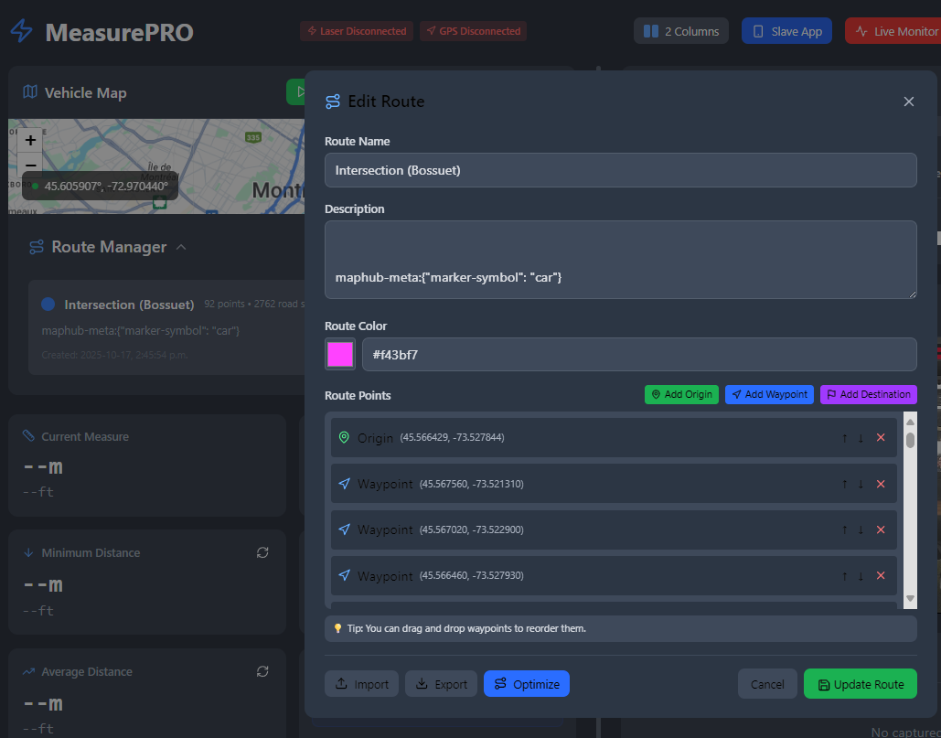
Back online, the survey syncs to the RoadScope platform. There the full route profile can be inspected: the lowest clearances along the corridor, where they occur, and how they compare against the height of a planned load. Pinch points stand out immediately instead of hiding in a spreadsheet. Here the imported survey shows the corridor profile against the 5.28 m travel height: the bridge clears with margin, the 5.19 m wire crossing is flagged as the controlling constraint, and the second wire crossing measures 5.87 m — a non-issue that no longer needs to be treated as an unknown. Analysis, comparison, and reporting happen in RoadScope; MeasurePRO's job was to bring back the verified field data.
Prove — deliver a defensible report
The decision is now defensible: move approved on this corridor, conditional on resolving one identified wire crossing at a known GPS location — with the measurement, the photo, and the LiDAR profile to back it up. The finished survey becomes a route report ready to support permit and abnormal-load applications, route planning decisions, and clearance disputes, and the data can be exported (CSV, JSON, GeoJSON, KML) for use in your own systems.
Field to report, one system
Because capture, verification, and reporting share the same synchronized data, nothing is re-typed and nothing gets lost between the truck and the final document.
See MeasurePRO on Your Route
Bring us a corridor you actually run — we'll show you what MeasurePRO sees. Book a live road demonstration, or explore the application yourself with simulated data.